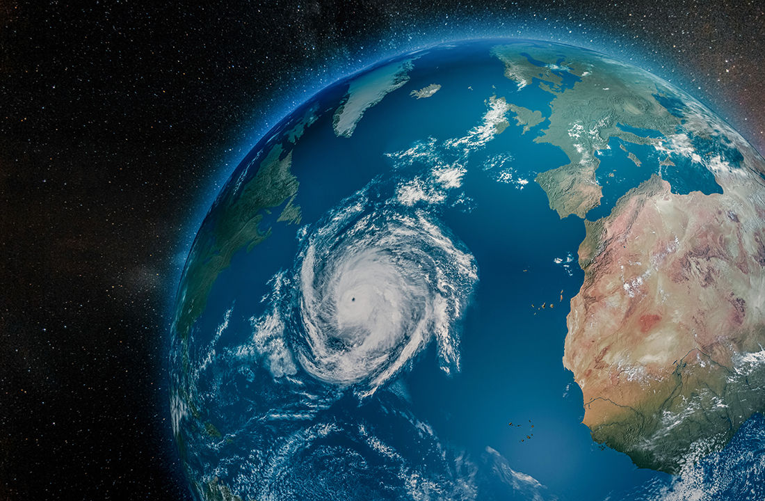
The 2025 hurricane season proved less troublesome than expected for insurers, as no tropical storm made landfall in the continental United States. During two recent webinars attended by Insurance Portal, meteorologists shared their forecasts for the hurricane season, which runs from June to November each year.

Meteorologist Bob Robichaud, manager of the Canadian Hurricane Centre (CHC), was a guest of the Institute for Catastrophic Loss Reduction (ICLR) in early June. He noted that the passage of a single hurricane, as was the case with Fiona in 2022, is enough to classify a year as catastrophic.
For a tropical storm to develop and eventually become a hurricane, several factors are required, says Robichaud. There must be a pre-existing disturbance with a low-pressure spiral forming a few degrees north of the Equator, with winds maintaining both strength and direction as the storm develops vertically.
If ocean surface temperatures reach 26 °C, if the atmosphere is unstable with colder temperatures at higher altitudes, and if strong relative humidity is present in the lower atmospheric layers, the storm can intensify. Robichaud emphasizes the absence of wind shear, as such winds prevent the storm from organizing vertically.
Once a tropical depression has been well established for more than 24 hours and displays a clearly defined spiral, if wind speeds remain below 63 km/h, the event becomes a tropical storm and is assigned a number for monitoring purposes. If wind speeds exceed that threshold without surpassing 118 km/h, the storm receives a name. Hurricane status is granted once winds exceed that limit, explains Robichaud.
Generally, the system transitions into a post-tropical storm as it moves northward. Each year, several of these storms end their journey in Canada’s Atlantic provinces. On average, there is one in June, one or two in July, three or four in August, four or five in September, after which the frequency declines in October and November.
Looking back at 2025
Meteorologists employed by the federal government paid particularly close attention to Hurricane Erin during the summer of 2025. Its passage through the Atlantic coincided with a period when wildfires were raging in Nova Scotia. “It became fairly apparent quickly that we were not going to get any precipitation from that storm, but we were on the fringe of the circulation of the storm, and that was going to result in some winds that were tied to it. It did have a slight impact on the fire situation,” says Robichaud.
In 2025, specialists had forecast between 13 and 19 named storms, resulting in 6 to 10 hurricanes, with 3 to 5 reaching Category 3 or higher. Ultimately, there were 13 storms, including 5 hurricanes, four of which were classified as major.
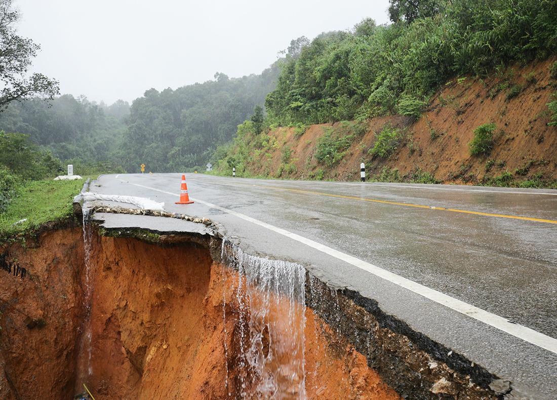
The last storm of the season, Melissa, struck Jamaica in October. As it passed through Canada’s Maritime provinces, Melissa delivered between 30 and 50 mm of sometimes heavy rainfall to Newfoundland and Labrador, but damage was minimal compared with the devastation seen in the Caribbean.
With winds reaching 306 km/h, Melissa tied the Atlantic Ocean record for hurricane intensity, previously set by Hurricane Allen, which struck Texas in 1980. Melissa caused 125 deaths in Jamaica and Cuba and generated US$12 billion in damages.
When it struck Jamaica on October 28, 2026, the hurricane was still a Category 5 storm. The following day, when it made landfall in Cuba, it had weakened to Category 3. It was the only hurricane of 2025 to make landfall, and it did so twice.
Other hurricanes were also responsible for loss of life in 2025, Robichaud notes, citing Barry (8 deaths in Mexico), Chantal (6 deaths in North Carolina) and Imelda (2 deaths in Cuba).
Melissa’s wind speeds increased by 102 km/h over 24 hours and by 194 km/h over 72 hours. Robichaud also points out that the three other major hurricanes of 2025 (Erin, Gabrielle and Humberto) experienced a similar level of wind intensification in a single day. Erin even increased in intensity by 139 km/h within 24 hours.
For meteorologists, it is becoming increasingly difficult to warn populations to seek shelter when storms intensify so rapidly. “Now you only have a couple of days before you go from nothing to something catastrophic,” says Robichaud.
Even during a relatively quiet season such as 2025, Melissa’s statistics were remarkable. At landfall, atmospheric pressure measured 897 millibars (mb), ranking second lowest, while winds reached 296 km/h, the strongest on record. Pressure measured at the centre of the storm before landfall dropped to 892 mb, the third-lowest pressure ever recorded.
The track
Thanks to its collaboration with the National Hurricane Center in Miami, the CHC generally receives reliable track forecasts, enabling it to issue warnings 72 hours before a tropical storm impacts Canada.
Forecasting models have improved significantly in recent years, reducing the margin of error in predicting a storm’s path. Over time, the projected diameter of a storm has become more precise, increasing confidence regarding the area through which the disturbance may pass.
The El Niño current
The transition to an El Niño pattern in the Pacific Ocean is good news for meteorologists monitoring Atlantic storms. This phenomenon is generally associated with stronger wind shear, which hampers the transformation of tropical storms into hurricanes.
On May 20, forecasters at the U.S. National Oceanic and Atmospheric Administration (NOAA) announced there was a 90 per cent probability that the hurricane season would be average or less active than usual. Nevertheless, between 8 and 14 named storms are expected, including one to three major hurricanes (Category 3 or higher on the Saffir-Simpson scale).
In 2026, the CHC expects to issue approximately five warnings within its coverage area. Researchers at Colorado State University (CSU) compared this year’s conditions with those observed in 2006, 2009, 2015 and 2023. Although the probability of a hurricane striking one of Canada’s Atlantic provinces or another part of the country remains low, CSU still estimates a 21 per cent chance that at least one hurricane will affect Canada. Nova Scotia has the highest probability, at 21 per cent, said Robichaud.
The reinsurer’s forecast

Gallagher Re hosted a similar webinar on the Atlantic hurricane season on June 11. Phil Klotzbach, a researcher specializing in atmospheric science at Colorado State University (CSU), noted that his group has published seasonal hurricane forecasts every April since 1984, with updates issued in June and August. The university released its official June 2026 forecast update the day before the webinar.
CSU is forecasting 11 named storms in 2026, including 5 hurricanes, of which 2 are expected to reach Category 3. This would make it a less active season than usual. As Robichaud had done a week earlier, Klotzbach discussed vertical wind shear, which limits a storm’s ability to strengthen into a hurricane.
The correlation between forecasts and actual outcomes has improved significantly over time, he added. The transition toward an El Niño event had just been confirmed by NOAA when Klotzbach delivered his remarks.
European counterparts are forecasting a very strong El Niño in 2026, further increasing the likelihood of a below-average hurricane season. CSU cannot predict how many hurricanes will strike North America or where they will make landfall. However, its researchers can observe a correlation between the number of Atlantic hurricanes and the value of insured losses they generate.
Working with Gallagher Re, CSU researchers are paying particular attention to the impact of hurricanes in the Caribbean Sea. Since 1979, the trend has shown an increase in hurricane activity in that region, especially during October and November. One explanation is the elevated ocean temperatures at that time of year.
One area of research for Klotzbach and his team is the classification of hurricanes according to atmospheric pressure measured in the eye of the storm. The lower the pressure, the larger the area covered by the hurricane. There may be a relationship between a storm’s size and the strength of the storm surge that strikes coastlines when a hurricane makes landfall.
This correlation has been observed in the past, notably during Hurricane Katrina in 2005, which caused widespread devastation along the Gulf of Mexico. The CSU researcher adds that there is a relationship between higher storm surge and both economic losses and fatalities.
Exceptional drought conditions
Later during the webinar, Gallagher Re expert Steve Bowen pointed out that while the first five months of 2026 were marked by a very low number of major catastrophes, the situation could change quickly. In his view, extreme drought conditions across several countries in the Northern Hemisphere could create problems this summer through wildfires and vegetation fires.
In several U.S. states, soil dryness is already comparable to levels recorded during the Dust Bowl of the 1930s. At that time, years of exceptional drought triggered massive dust storms that made living conditions unbearable for many residents of Kansas, Oklahoma and Texas between 1934 and 1940.